Data & Maps
HELCOM Map and data service (MADS)
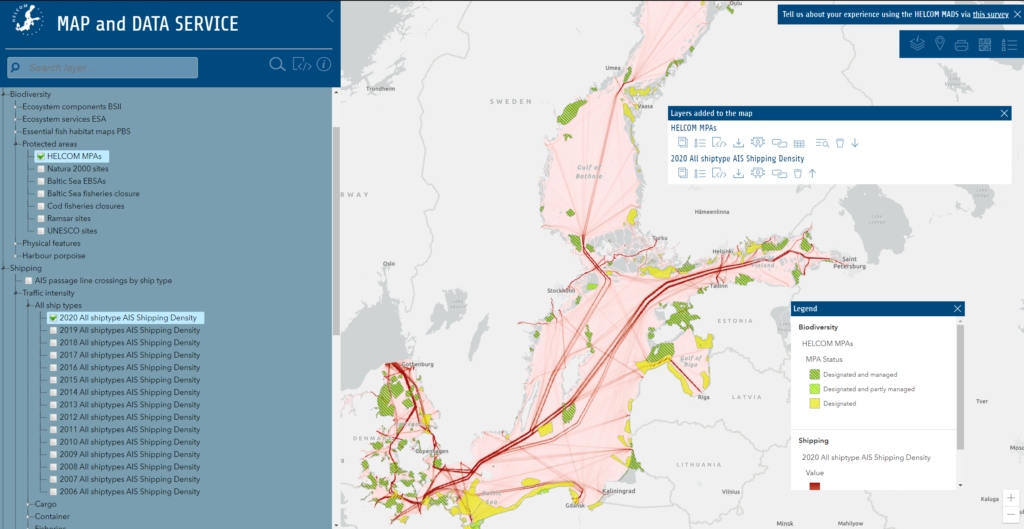
HELCOM Map and data service (MADS) contains all geospatial data relevant for HELCOM’s work from status assessments to shipping density maps. The HELCOM Map and data service contains various functionalities for viewing datasets, for example, identify features and attribute table functionalities and print maps to pdf.
The service is linked with HELCOM Metadata catalogue to view metadata of each dataset and to enable download.
Databases
HELCOM collects data related to marine environment to various thematic databases, which are listed here.
Data services
HELCOM provides direct access to all HELCOM geospatial datasets either by ArcGIS Rest interface or OGC WMS and WFS Standard. The service are described in HELCOM Metadata catalogue.
Supported by

EU funded Baltic Data Flows project
TAPAS Project – Development of HELCOM Tools and Approaches for the Second Holistic Assessment of the Ecosystem Health of the Baltic Sea (Theme 4 – Workspaces for data and information)
EU Strategy for the Baltic Sea Regions (EUSBSR)

The Nordic Council of Ministers funded project: Development of HELCOM Data and Geographic Information System

EU funded HELCOM SCALE project (Project 21.0401/2007/485831/SUB/D2). EU Framework contract “Development of a shared data and information system between the EU and the regional sea conventions”